By Phil Roberts
John C. Fremont on his expedition west in 1842 climbed, along with his African American servant Janise, what Fremont called “the loftiest peak of the Rocky Mountains.” From that vantage point he “looked down upon the snow 1,000 feet below, and standing where never human foot had stood before, felt the exultation of first explorers.”
Fremont’s “loftiest peak” is 13,502-foot named in the early 20th century, Mount Woodrow Wilson, in Wyoming’s Wind River mountains. The great explorer had guessed incorrectly. A peak farther north was actually some 302 feet higher in elevation. That peak was named for someone lesser known than Fremont, but still a leading pioneer in his field—Henry Gannett, geographer, mapmaker and astronomer.
Born in Maine in 1846, Gannett graduated from Harvard and worked as an astronomer in that college’s observatory. In 1871, after turning down an opportunity to accompany a polar expedition north, he accepted a position with the F. V. Hayden surveying expedition to the American West. It was to be his second trip west, having gone there in 1869 with a party led by one of his Harvard professors.
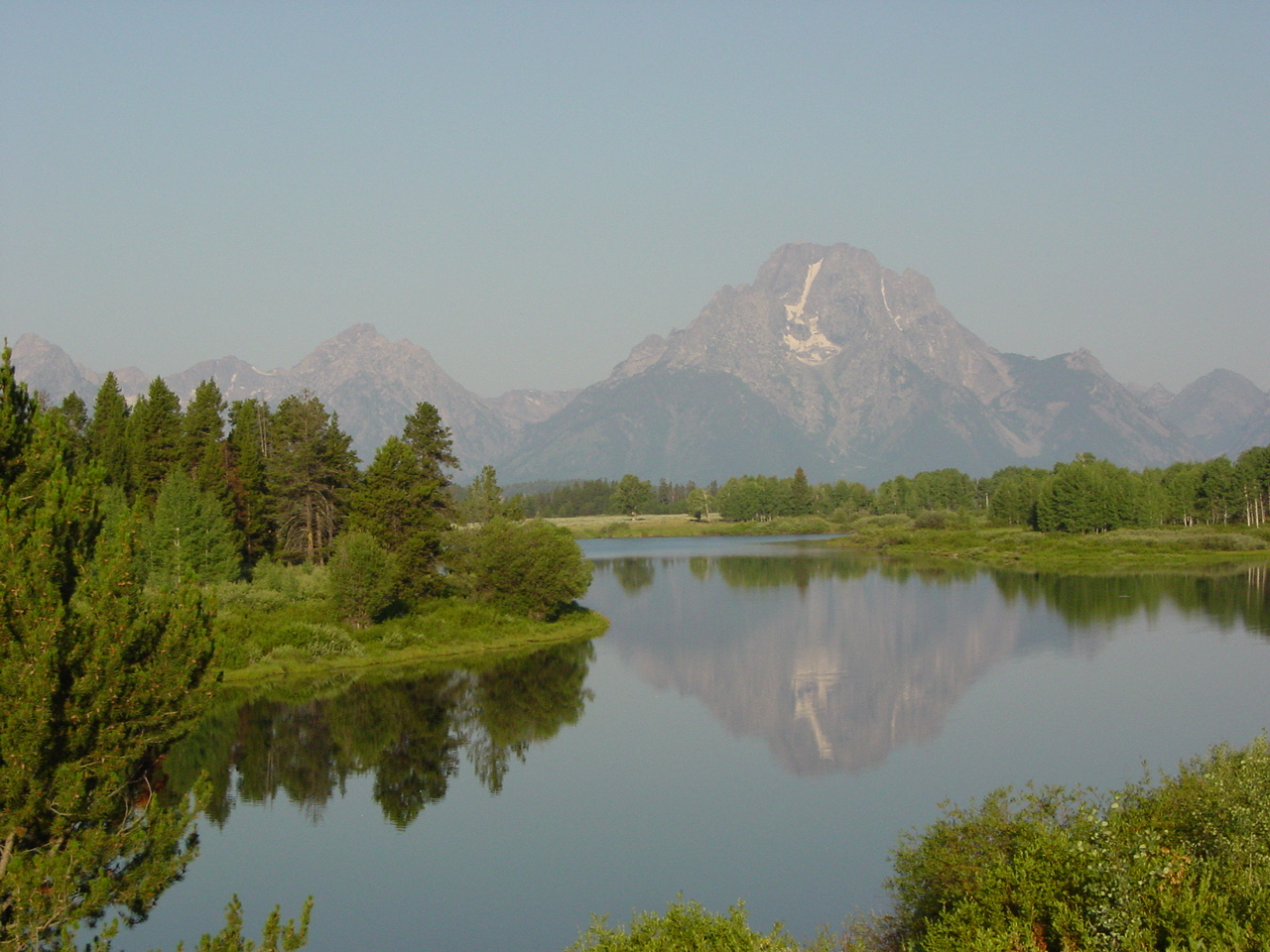
As one of the topographers for Hayden, Gannett was one of the stalwarts of the expedition. He worked the Rocky Mountains for the next eight years. In that time, he helped map Wyoming mountains including the Tetons and such Colorado mountains as the Mount of the Holy Cross.
Late one afternoon in August, 1875, Gannett was trailing his group by a mile or two when suddenly, he was surrounded by Indians. While at first they appeared friendly, Gannett was able to catch up with the rest of the party by spurring his mule forward at a trot. When the party discovered that the Indians wanted to trade for gunpowder, a commodity which they had in short supply, the surveyors decided to keep on the trail southward.
Toward evening the party was fired upon from the top of a hill. They returned the fire and, deciding not to camp for the night, pushed on south. By morning they were out of the area. It was only one of Gannett’s many brushes with danger in almost a decade as field topographer.
Gannett’s topographic maps, although considered somewhat unimaginative, were accurate depictions of the geography of the West. When the Hayden party activities ended, Gannett accepted a job as chief geographer for the U. S. Geological Survey under John Wesley Powell. In that job, which he held until his death in 1914, he organized the field work for survey parties and translated their field records into topographic maps. He frequently accompanied the crews into the field.
Early in his career, he recognized the problems developing over the confusion in names of geographical features. Sometimes the same mountains would be known by three or more different names while other times there would be three or more mountains holding the same name. In 1890, Gannett helped establish the U. S. Board of Geographic Names and served as its chairman for 20 years. His interest in geography led to the establishment of the National Geographic Survey by Gannett and several others. At the time of his death, he was the society’s president.
When the USGS party was reconfirming earlier investigations of the Wind River range in 1906, they named the highest point “Gannett Peak.” On June 7, 1922, the U. S. Geographic Board officially confirmed that the mountain, the highest point in Wyoming, would henceforth be named for “the father of American map-making”—Henry Gannett.